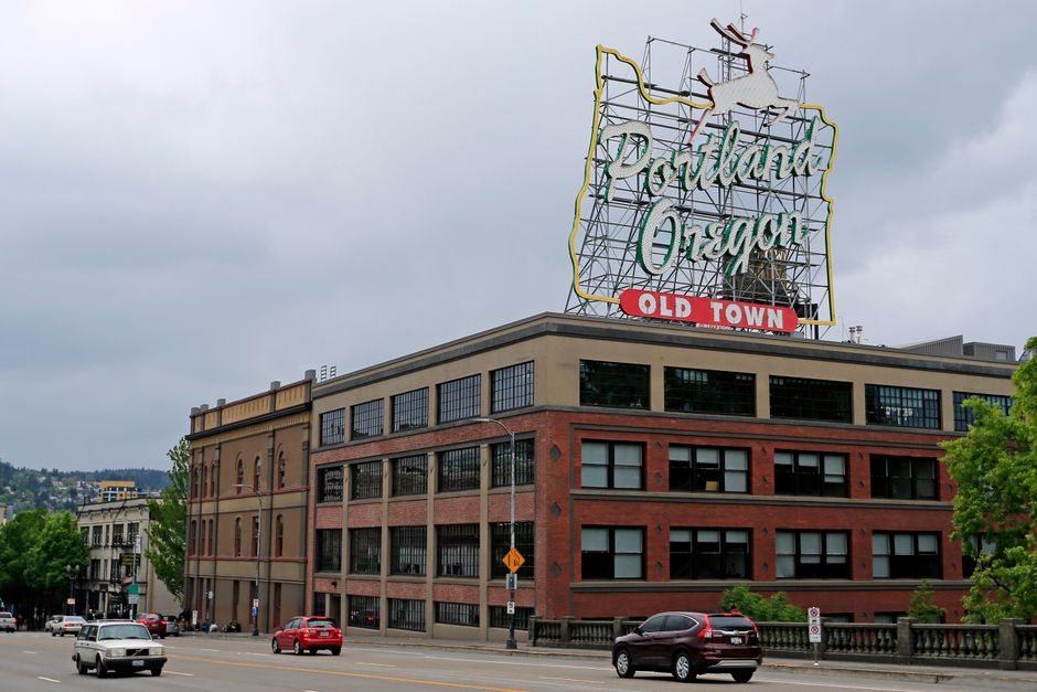
Portland’s parks are seeing record numbers of visitors this summer, and local trail organizations say more residents than ever are lacing up for a stroll in the city’s green spaces. With a range of walking trails varying in length and challenge, locals have plenty of options—if they know where to look.
For many, the renewed interest in outdoor fitness follows two historic years for Portland Parks & Recreation. In early June, PP&R reported a 28% year-over-year increase in users on city multi-use trails when comparing anonymized smartphone mobility data from spring 2025 to 2026. As the temperature climbs and air quality warnings return, the city’s well-shaded routes are becoming vital alternatives to crowded gyms. And for newcomers and regulars alike, the question isn’t if they’ll get outside—it’s which route to take.
Where to Walk: Neighborhood Favorites by the Numbers
Forest Park remains the heavyweight champion of local hikes. The Wildwood Trail, which can be accessed from the 2700 block of NW Thurman Street or the Pittock Mansion trailhead, stretches more than 30 continuous miles—the city’s longest soft-surface walk. The full route is marked as "moderate" in Portland Parks maps, with frequent 200-foot elevation gains and the need for good stride endurance. For more casual walkers, the Lower Macleay Trail (3.2 miles round-trip, easy-moderate) offers a leafy trip under the Thurman Bridge along Balch Creek up to the iconic Stone House, beloved for its easy access and modest slopes.
Sunnyside’s Laurelhurst Park gets high marks for accessibility. The 1-mile paved perimeter loop is wheelchair-friendly, level, and packed with shade, making it the best choice for seniors or anyone new to regular walking. In east Portland, the Springwater Corridor—a converted rail trail running 21 miles from SE Ivon Street at the edge of Sellwood through Lents and beyond—draws fitness walkers and long-distance cyclists alike. Its gentle grade keeps the trail rated “easy,” but distance makes it a favorite for Portland’s more competitive step-counters. According to Friends of the Springwater, the section from SE Johnson Creek Boulevard to Powell Butte (approx. 5.7 miles) is ideal for those training for longer events.
See and Be Seen: Who’s Stepping Out and How Far?
The surge in local interest is backed by city data. Portland Parks & Recreation counts over 11,300 daily visitors to Forest Park’s southern trailheads during peak weekends in June 2026—the highest figure since the city started using automated counters. What’s more, PP&R’s Get Outside program has clocked a 22% increase in registrations for their free guided walks compared to last year, with scheduled outings for nearly all ability levels and neighborhoods.
Cost’s no barrier on these trails. All major routes, from the Wildwood to Springwater, are accessible without a fee, though parking is sometimes metered (currently $2/hour in the Pittock Mansion lot, and $1/hour at Laurelhurst, enforced by Portland Bureau of Transportation). Trailheads offer restrooms and water along most city-managed sections, and the Trailkeepers of Oregon maintain updated digital maps for those plotting their walk.
For those tracking difficulty, Forest Park’s Maple Trail loop (4.3 miles, moderate-challenging) is often recommended by local hiking groups for a faster heart rate and serious forest immersion. City bestsellers for beginners remain Tryon Creek State Natural Area’s 2-mile Trillium Loop or the Eastbank Esplanade for a paved, riverside urban stroll with minimal hills.
What’s next? Summer brings packed paths and more free group walk events listed on portlandoregon.gov, as well as Tuesday Twilight strolls led by the Urban Adventure League. Organizers recommend starting early to beat the heat, carrying water, and revisiting crowd-sourced apps like AllTrails for up-to-the-hour conditions or closures. For Portland locals, the real challenge isn’t finding a trail—it’s picking which one to walk next.